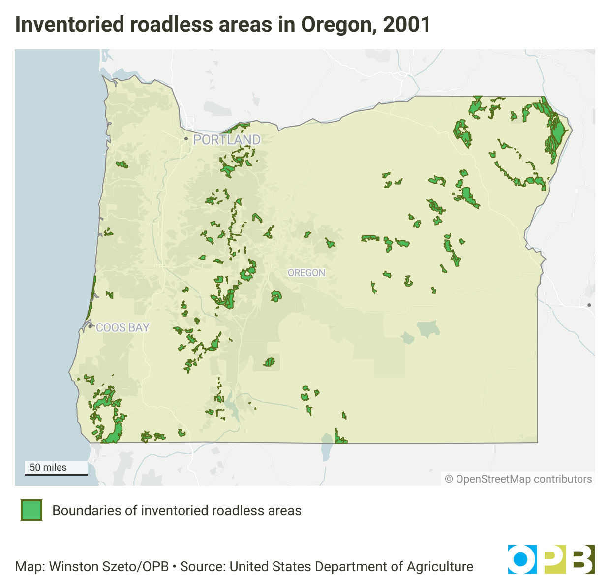
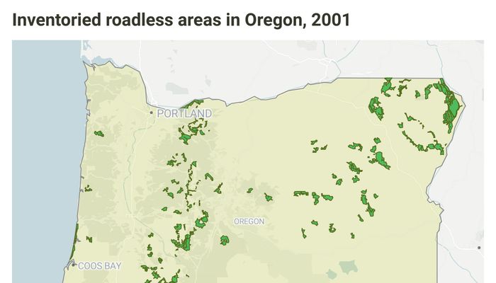
Inventoried roadless areas in Oregon, 2001
https://www.opb.org/article/2025/09/17/roadless-rule-logging-federal-forests-oregon-washington/
Image at Oregon Public Broadcasting
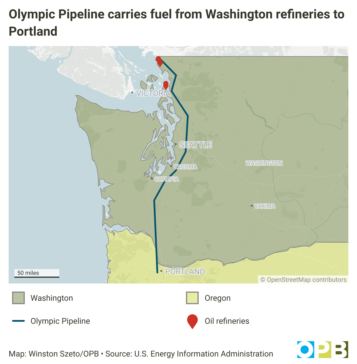
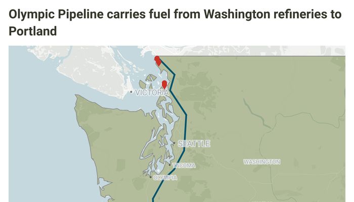
Olympic Pipeline carries fuel from Washington refineries to Portland
https://www.opb.org/article/2025/09/12/oregon-gas-prices-olympic-pipeline/
Image at Oregon Public Broadcasting
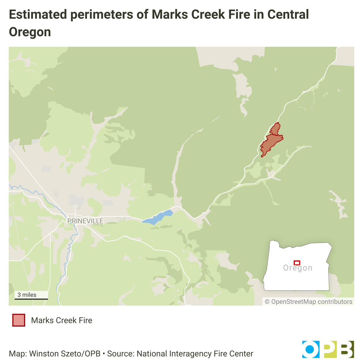
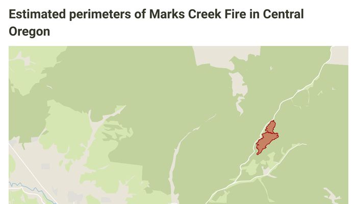
Estimated perimeters of Marks Creek Fire in Central Oregon
https://www.opb.org/article/2025/09/03/marks-creek-fire-prineville/
Image at Oregon Public Broadcasting
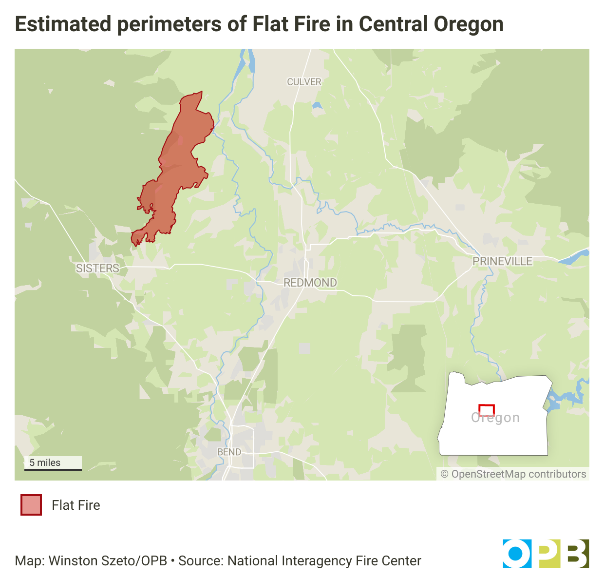
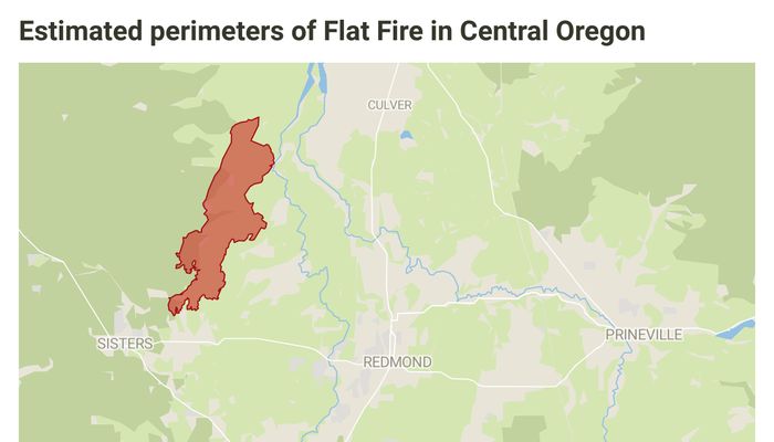
Estimated perimeters of Flat Fire in Central Oregon
https://www.opb.org/article/2025/08/27/flat-fire-central-oregon-23k-acres/
Image at Oregon Public Broadcasting
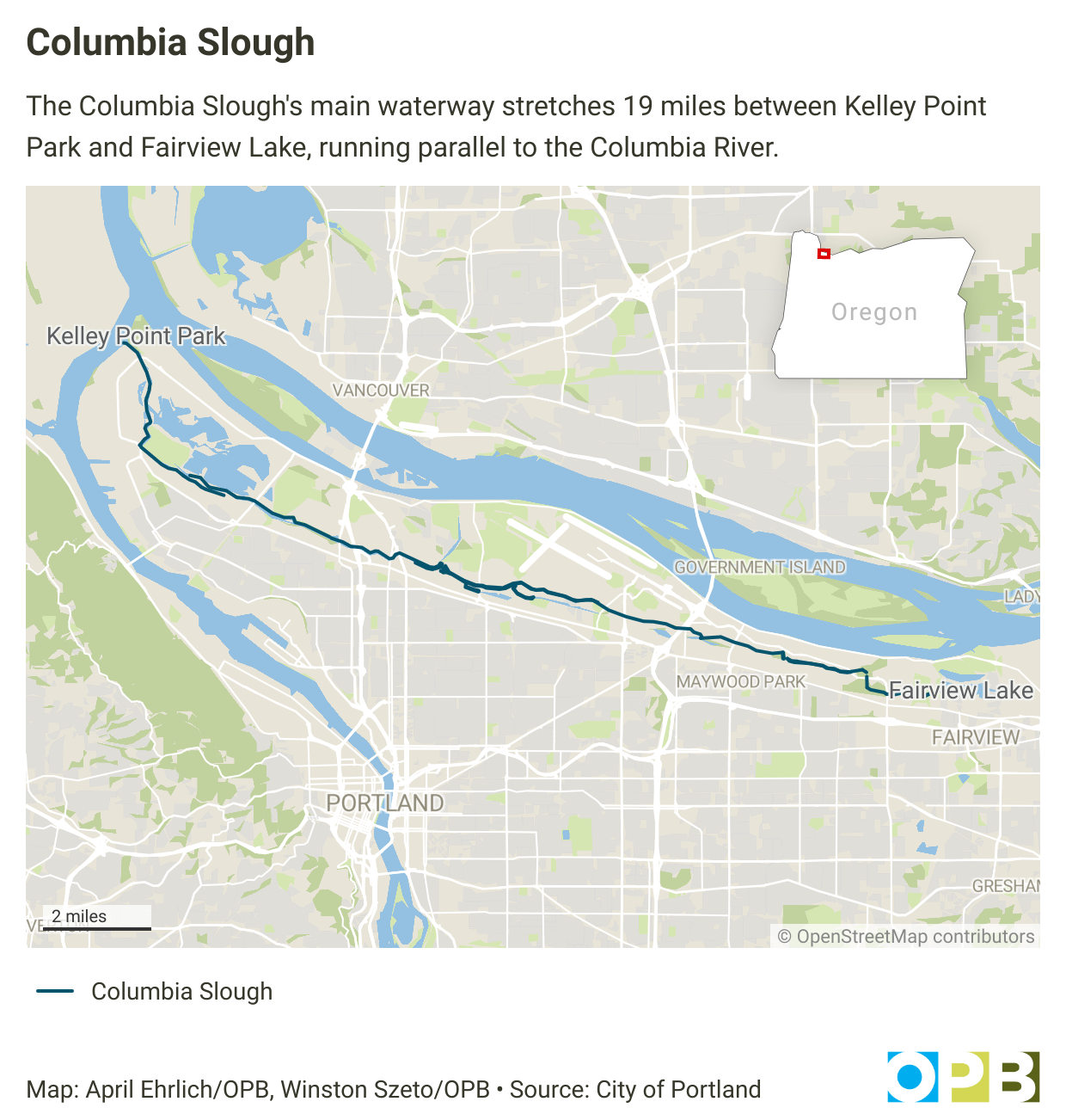
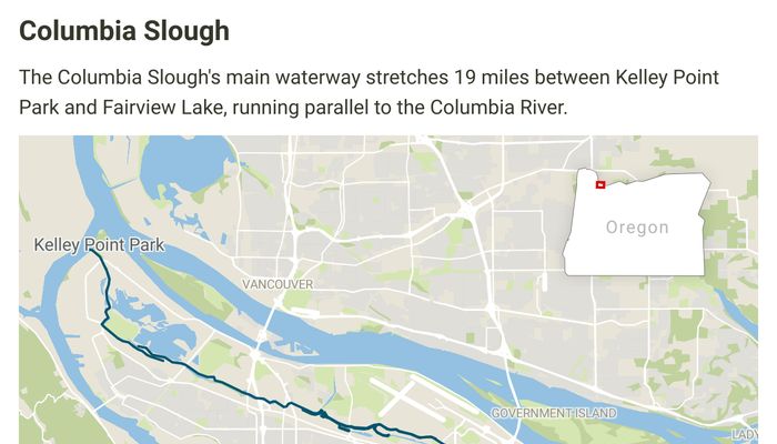
Columbia Slough
https://www.opb.org/article/2025/08/22/trapping-soil-polution-columbia-slough/
Image at Oregon Public Broadcasting
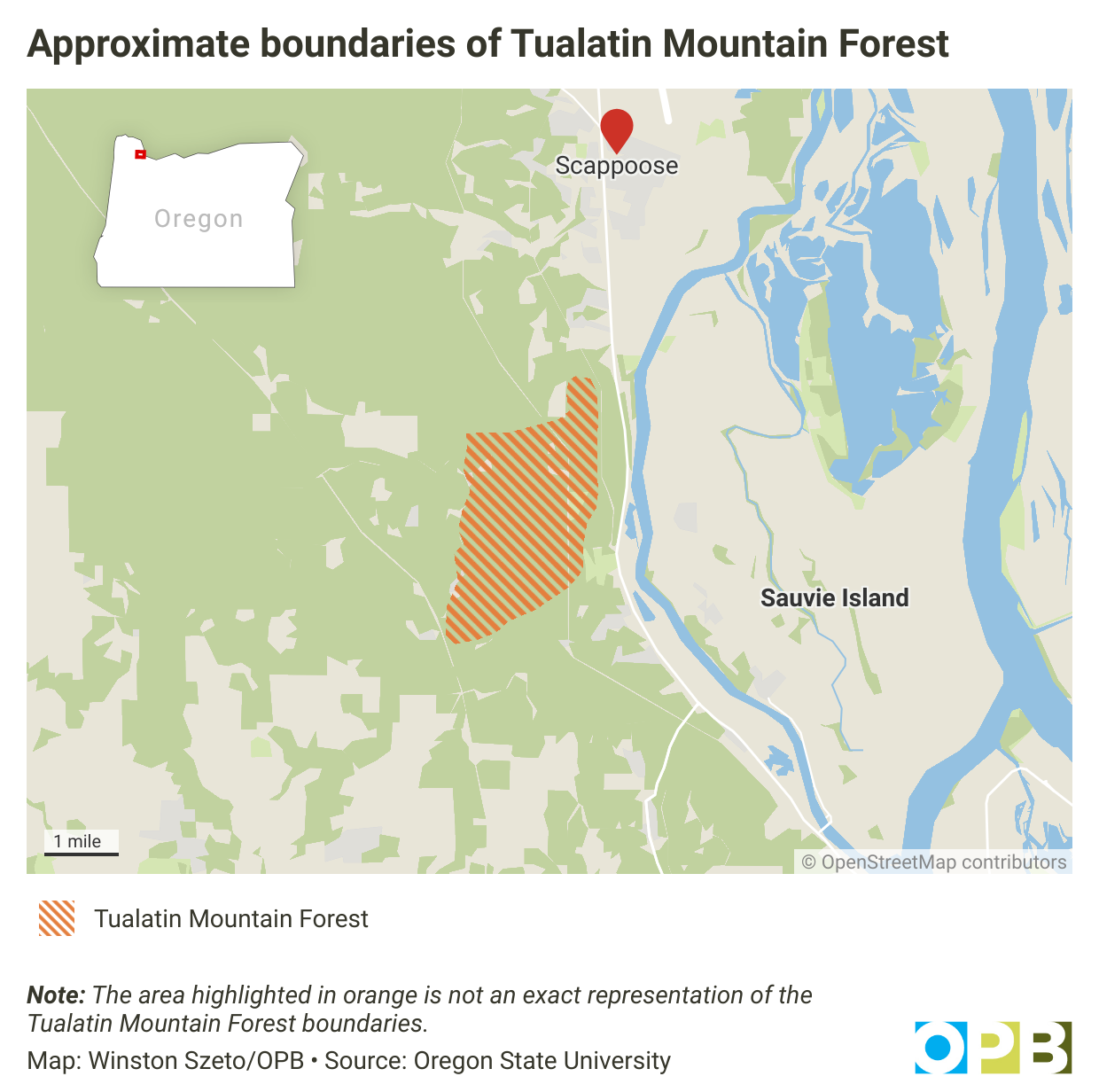
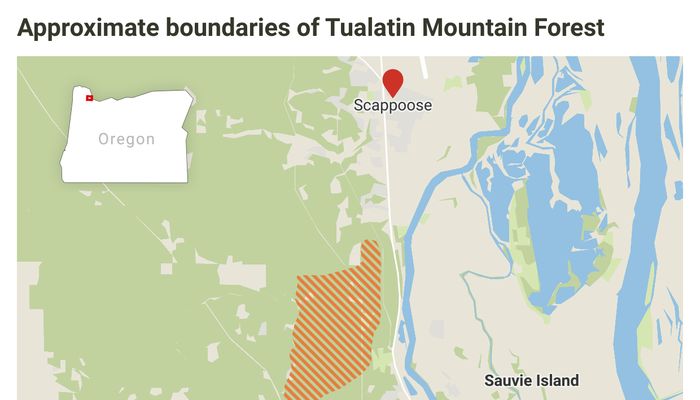
Approximate boundaries of Tualatin Mountain Forest
https://www.opb.org/article/2025/05/09/osu-tualatin-mountain-forest/
Image at Oregon Public Broadcasting
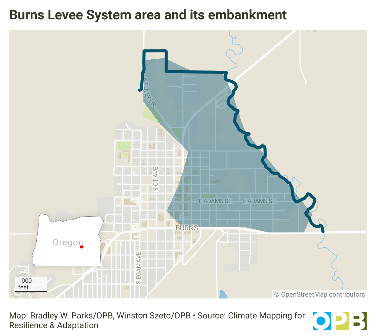
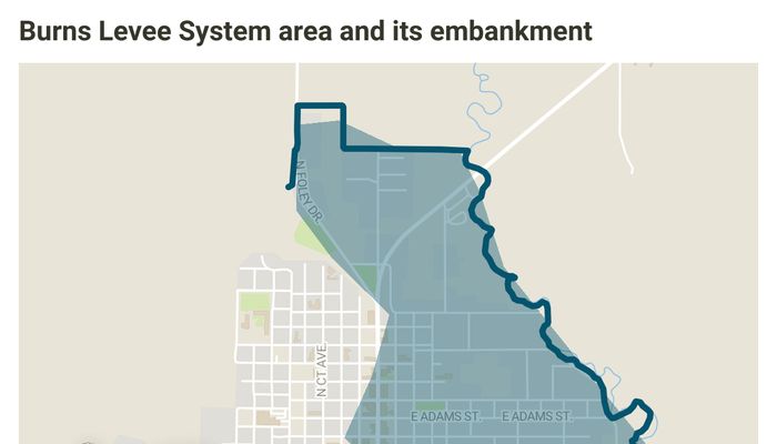
Burns Levee System area and its embankment
https://www.opb.org/article/2025/04/24/harney-county-flood-burns-responsibility/
Image at Oregon Public Broadcasting
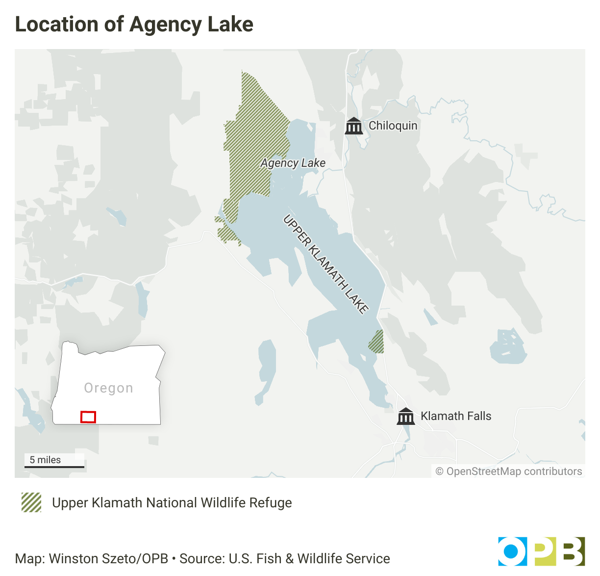
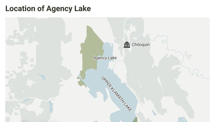
Location of Agency Lake
https://www.opb.org/article/2025/01/25/water-flows-as-part-of-a-massive-habitat-restoration-in-the-upper-klamath-basin/
Image at Oregon Public Broadcasting
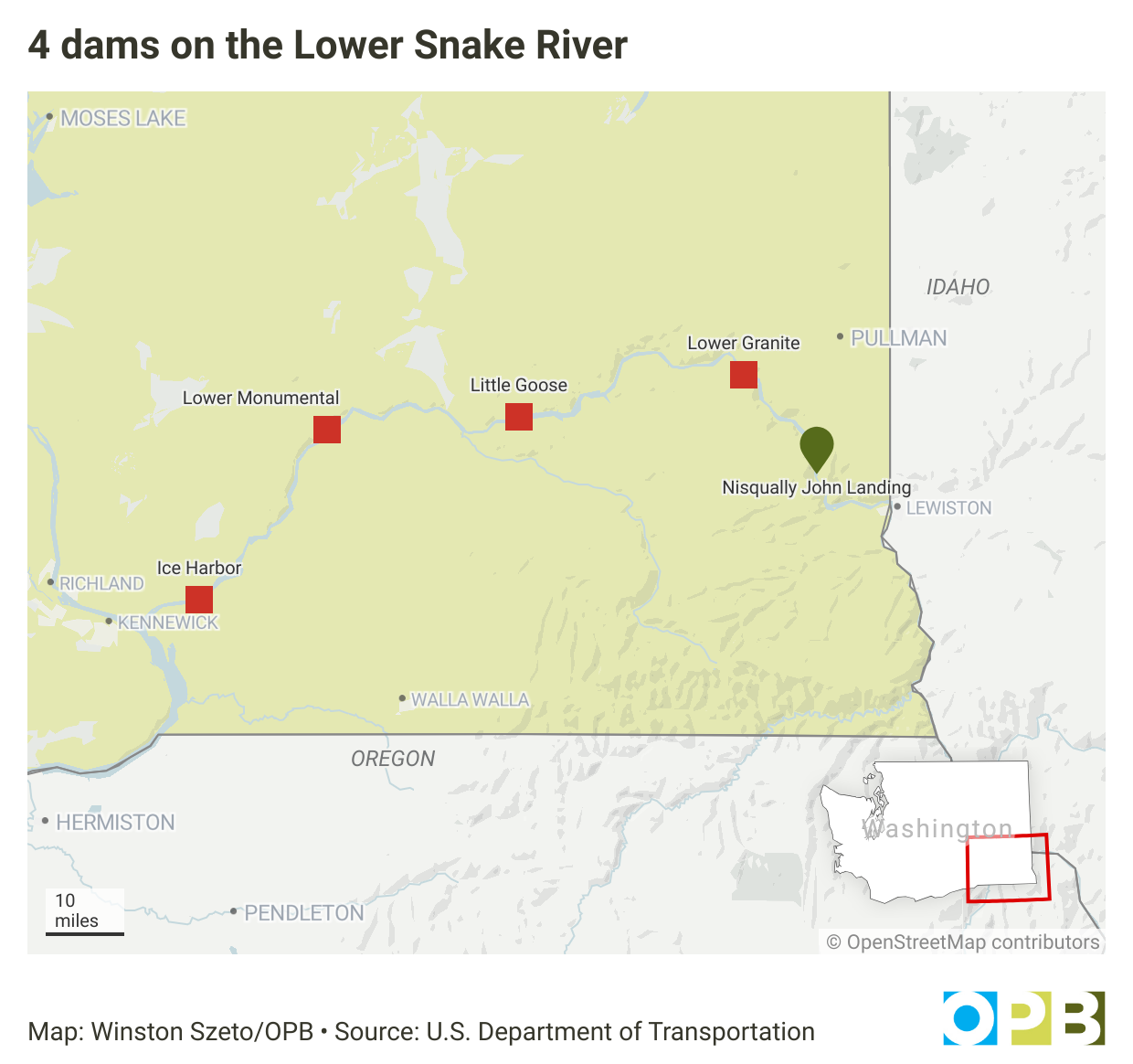
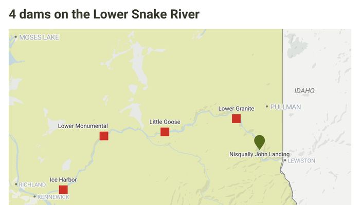
4 dams on the Lower Snake River
https://www.opb.org/article/2024/08/18/algal-bloom-snake-river-little-goose-dam/
Image at Oregon Public Broadcasting