Photojournalist Daniel Shular decided to take trails across Oklahoma to explore and report back what he experienced. See additional photos and videos of Shular’s adventures at go.tulsaworld.com/trails.
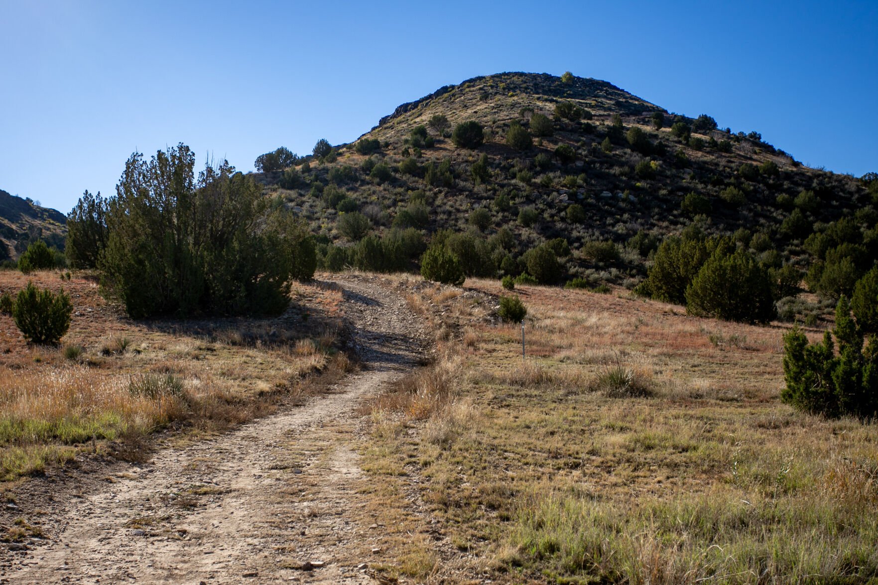
Black Mesa Trail
Photo Gallery: Black Mesa Trail
The most difficult part of reaching the highest point in Oklahoma is the drive. In hindsight, leaving Tulsa at 1 a.m. and sleeping at a truck stop to get to the Black Mesa Trail early in the morning might not have been the best plan.
Still, it gave me time to walk around Black Mesa State Park later in the day before setting up camp.
The final stretch of the drive to the Black Mesa Nature Preserve is where the high plains meet the Rockies, offering views that most transplants like me would not think to associate with Oklahoma.
One of the first things I noticed after starting on the trail was the free-roaming cattle and signs of other wildlife that had recently been in the area. The out-and-back trail comes in at just over 8 miles and is mostly flat, except for the 748 feet of elevation gain that mostly comes in around mile two and ends a little after three.
Before I began the incline, I noticed a crate used as a water cache past the second mile marker on the trail. If the temperatures get above 90 degrees, the trail closes at 10 a.m.
After hiking to the plateau, I was able to take in the views over the nature preserve. I hiked about another mile to reach a monument that marks the state’s highest point at 4,973 feet above sea level. The obelisk sits 53 miles from Kansas, 31 miles from Texas, 5 miles from Colorado and 1,299 feet from New Mexico.
I signed the logbook of high pointers, spoke with some hikers leaving the monument, and ate a lunch before walking to a bluff that looked into New Mexico. After getting back to the parking lot, I drove into New Mexico to find the nearest open restaurant. This is where my luck ran out for having a clear sky, as light rain began to fall.
I had reserved a tent site across Lake Carl Etling to take advantage of the park’s designation as a dark sky park and to keep away from RVs and buildings. This would have given me a clear view of the night sky, but with clouds and rain moving in before sunset, there was nothing to see.
Photo Gallery: Cathedral Mountain Mesa Trail
Gloss Mountain State Park was my third stop on my road trip back from the panhandle. It’s named for the selenite that shines in sunlight.
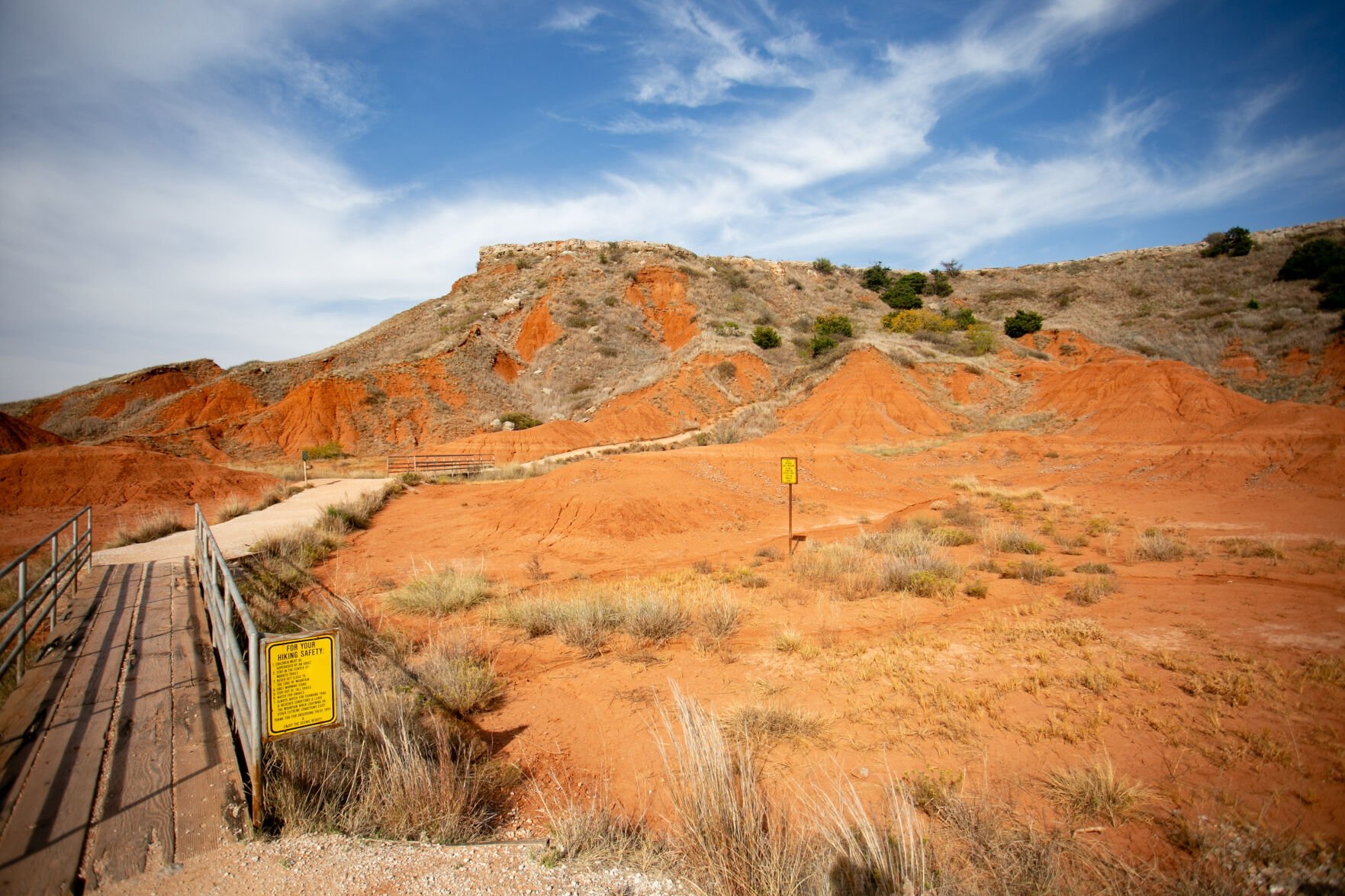
My map of Cathedral Mountain Mesa Trail shows the path going straight up after the trailhead with no switchbacks, which would increase the difficulty, but the trail starts with stairs and handrails leading to the top of the mesa.
The hike was short compared to Black Mesa, coming in at around 1.2 miles, but it offered some great views of formations like Lone Peak, the highest butte in the park, to the east and the Sphinx facing south.
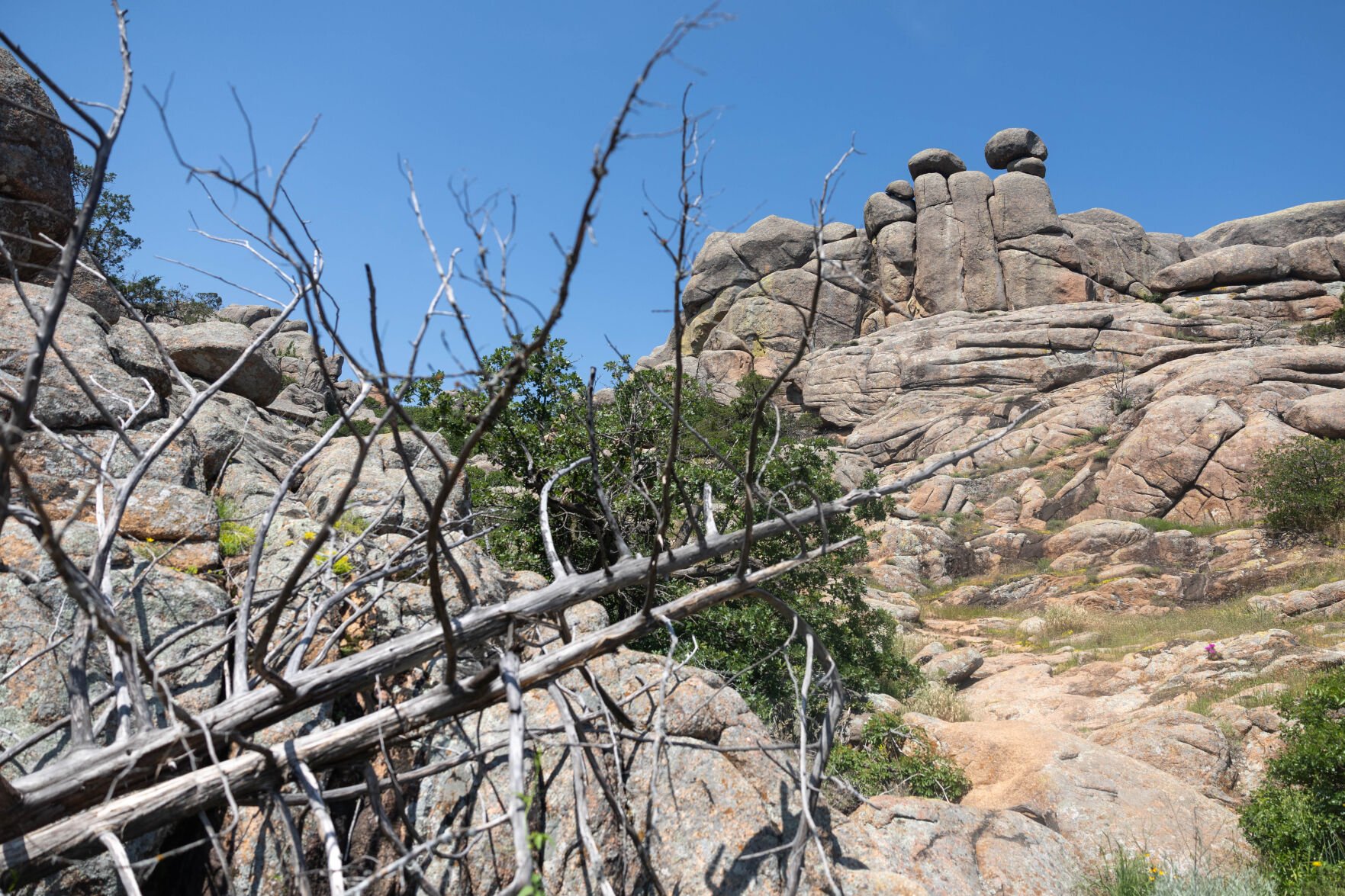
Wichita Mountains
Photo Gallery: Wichita Mountains Wildlife Refuge
I set off on the nearly three-hour trip to Wichita Mountains Wildlife Refuge to see if the park that had been recommended to me by nearly everyone I have met in Oklahoma lived up to the hype.
As you drive, Mount Scott is prominently on display before entering the refuge. I arrived at the park around noon, and the road to the top was closed to hikers but open to cars. The summit offers views of nearby sights like Hunting Horse Hill and Lake Lawtonka from the summit.
My first hike in the park was the Longhorn Trail and Bison Loop, which was aptly named, as I was stopped a few times on the drive to the trailhead by groups of bison and longhorn cattle on the roads leading to the trailhead.
The loop hike was an easy route at just about 6 miles with only a few hundred feet of elevation gain.
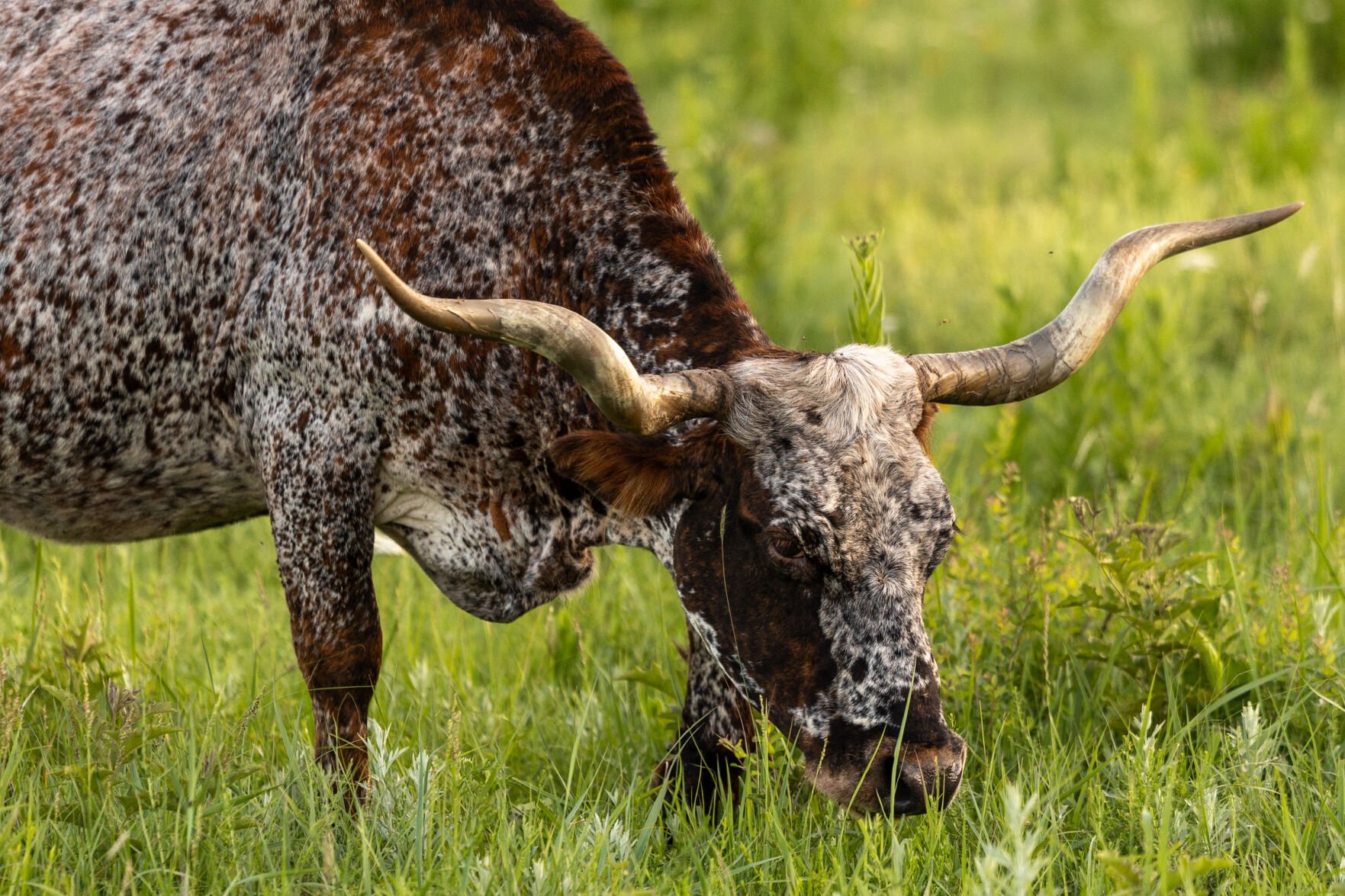
I was able to see a little bit of everything that Wichita Mountains Nature Preserve has to offer on this trail. I took off from the Bison Trailhead and went counterclockwise on the loop, starting off in a wooded area and leading to a field of boulders before reaching West Cache Creek in the first couple miles.
A small gorge that the West Cache Creek runs through separates the Bison and Kite trails until the dam at Lost Lake. The next section of the trail was a little overgrown near the water, but the trail was still easy to follow.
I pitched my tent at Doris Campground before setting off to see Oklahoma’s version of alpenglow on the western side of Mount Scott. As the sun continued to set, I drove to Holy City to photograph the prairie dog town and to see herds of bison graze in the fields.
The next morning, I started hiking west into the Charon’s Garden Wilderness to reach the Crab Eyes rock formation. As I walked, the views opened up to where I could see the granite peaks and green valleys of the backcountry. Standing on the trail reminded me of being near the treeline on my hikes on much taller mountains.
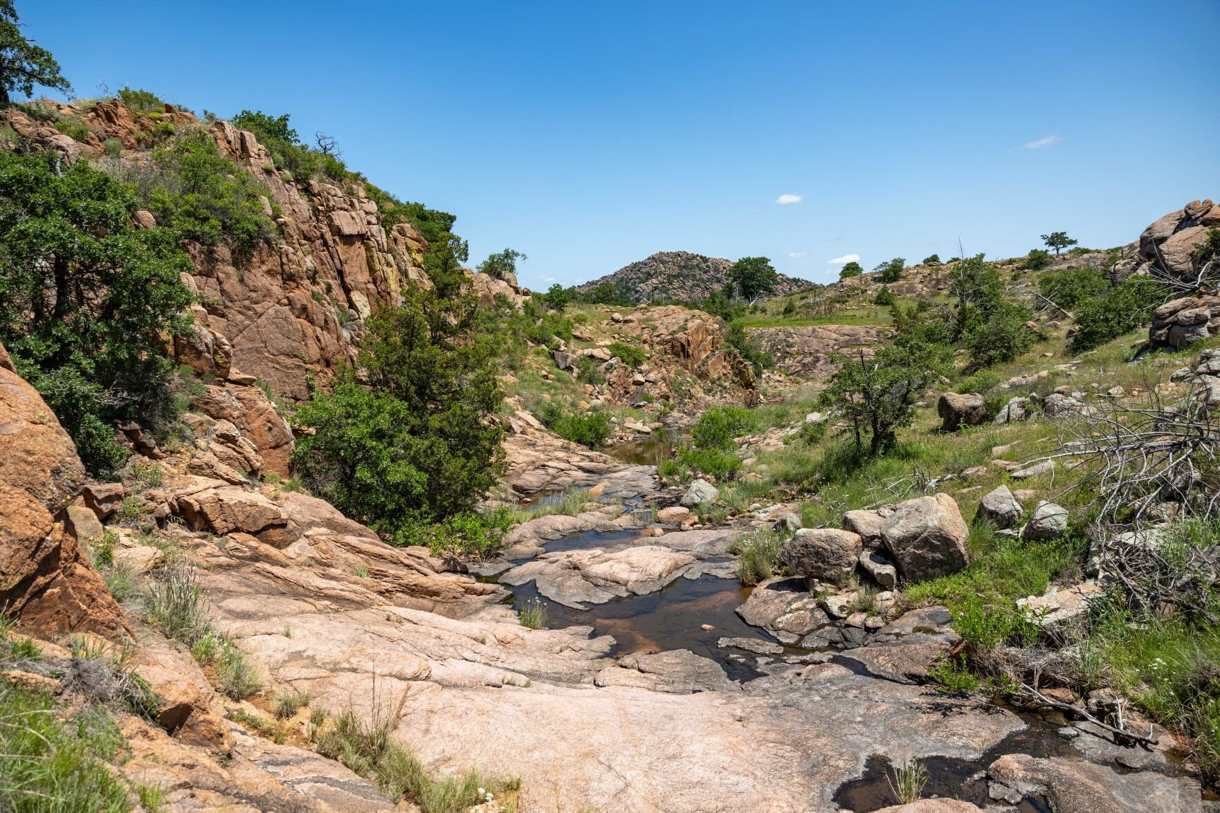
After the last crossing of Post Oak Creek, the trail became less established as it ascended into the rocks and plants. When I reached the top of the trail, I was given the best view of the trip.
I hiked back to Charon’s Garden Trail intersection and headed south along the Post Oak Creekbed. I decided to save seeing Post Oak Falls for another trip when the water was higher and went north toward the boulder field in the valley under Elk Mountain.
Backpacking in Charon’s Garden for a few days is now on my list of future hiking trips.
Robbers Cave
Photo Gallery: Robbers Cave State Park
Robbers Cave was my first real backpacking trip in Oklahoma. The plan was to do around 13 miles in two days on a path I had drawn up, but that turned into nearly 20. We were victims of dodging spiders, standing water and hopping on the wrong trails by not looking at the blazes.
I took the trip with my friend Shawn Gonzalez from St. Louis. I had taken a trip with him and his wife, Rachel, to hike all over Utah and Colorado earlier this year, which inspired me to write about the trails in Oklahoma.
We started the hike at the Deep Ford Campground on the Mountain Trail in the tail end of a rainstorm. We went right at the split of Mountain Trat that followed along the banks of Lake Carlton before the first big incline back into the woods. As the trail leveled out, we saw trickling waterfalls and took in views over the lakes.
About 5 miles in, we turned onto the lower section of the Cattail Pond Loop before getting on Rough Canyon Trail. After walking east for a couple of miles, we were in the parking lot for Robbers Cave.
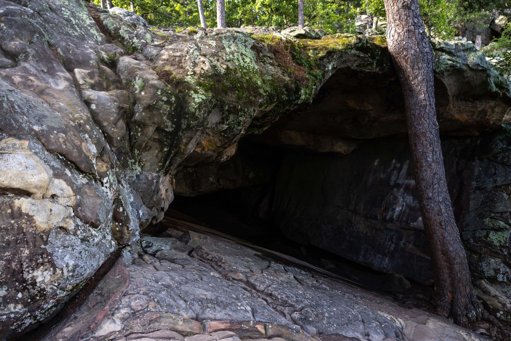
We hiked to the top, explored the cave and took in the views over the San Bois Mountains before crossing through an old Boy Scout camp to arrive at the Redbud Campground to end the day.
The next morning, we walked around the east side of Robbers Cave Trail before taking off on the northern section of Rough Canyon Trail Loop. We arrived at the first landmark at Lost Lake, a dammed-up section of a creek running along Rough Canyon with an abandoned structure built on it.
Soon we were back on the Cattail Pond Loop before making our last water crossing back over to Mountain Trail. We veered right at Lake Wayne Wallace on what felt like the steepest climb of the trip over several switchbacks. As we reached the top of the hill, we were greeted with a headstone that read “paid the price for cutting switchbacks,” with a pair of cowboy boots at the end of the grave.
We got off Mountain Trail to take the foot bridges over Lake Carlton. The grounds around the lake were filled with people fishing, swimming and visiting facilities like the gift shop, where we bought junk food to celebrate.
Keystone Ancient Forest
Photo Gallery: Keystone Ancient Forest
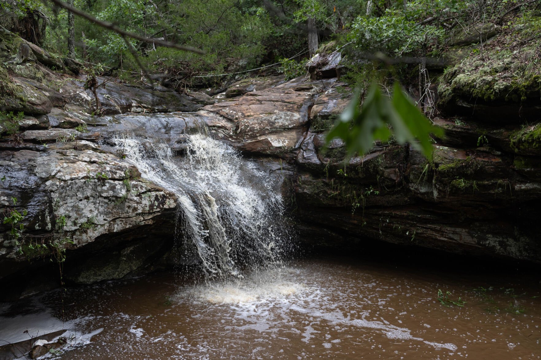
My first trek into the Keystone Ancient Forest this year was after a late spring rainstorm. I have hiked the Falls Trail in the park more than any other.
The weather made the whole trail look completely different from any other time I had hiked it.
After walking about a third of a mile on the Fire Road from the parking lot, you come to the first trailhead. The 3.4 mile trail is one of two that are rated difficult in the forest but should be fairly easy for anyone with hiking experience.
In an attempt to get my camera past a tree, I took one step off the trail, fell and slid in the mud for several feet. Don’t be like me and leave the trail. I was digging mud out of my rain jacket for the rest of the day.
In less than another mile, you will arrive at the second waterfall. At both, you have a water crossing to continue on the trail.
After finishing the trail, I came out at the second trailhead about a half mile down the Fire Road from the first. I walked to the end of the Fire Road and turned right onto the Frank Trail, which is an easy, flat 1.4 miles. The end of the Frank Trail leads to the Childers Trail, a shorter loop that is paved, 5 feet wide and ADA-accessible with track chairs that can be used from the visitors center.
When I went back, I walked down Fire Road to the end of the Frank Trail to the Washington Irving Lookout above Keystone Lake.
On my way back I turned onto the Wilson Trail. It is a 1-mile loop and is the park’s second difficult-rated primitive trail.
I moved onto the newest trail called the Savanna Trail, which is a flat, easy half mile or so that connects to the Less Traveled Trail, the longest trail in the forest at 4.1 miles and is rated a moderate difficulty, but I would say it’s easier than Falls and Wilson.
Near the sixth mile into my day, I reached a water crossing at Brush Creek that the recent rain had made it the deepest I had ever hiked through in the Keystone Ancient Forest. In the last couple miles of the trail there is a steady climb up, and sections on the trail had been washed away from the rain, with roots of the trees exposed in the gaps.
In total I hiked just more than 14 miles, but I will come in lower if all the trails are done in one visit. I overlapped on the Frank and Childers trails because they are more interesting than using Fire Road.
Ouachita Trail
The Ouachita Trail is the most difficult hike I’ve taken in Oklahoma.
The Ouachita Trail stretches 223 miles from Talimena State Park in Oklahoma to Pinnacle Mountain State Park in Arkansas. I took off with my friend again. We planned to backpack the first 8 miles of the OT to Deadman Gap and hike back to the western terminus of the trail in Talimena State Park. Things didn’t exactly go as planned.
The only water source we could rely on was a stream near the trailhead. We decided before starting the hike, we would drive to place water 8 miles in at the turnaround point at Deadman Gap.
Our first mistake was getting to the trailhead around 11 a.m. The high temperatures were in the mid-90s with high humidity. We would learn that this trail is meant to be hiked not in the hottest parts of the summer.
The section had over 1,600 feet in elevation gain, with most of that coming in the first couple of miles. This trail is rocky.
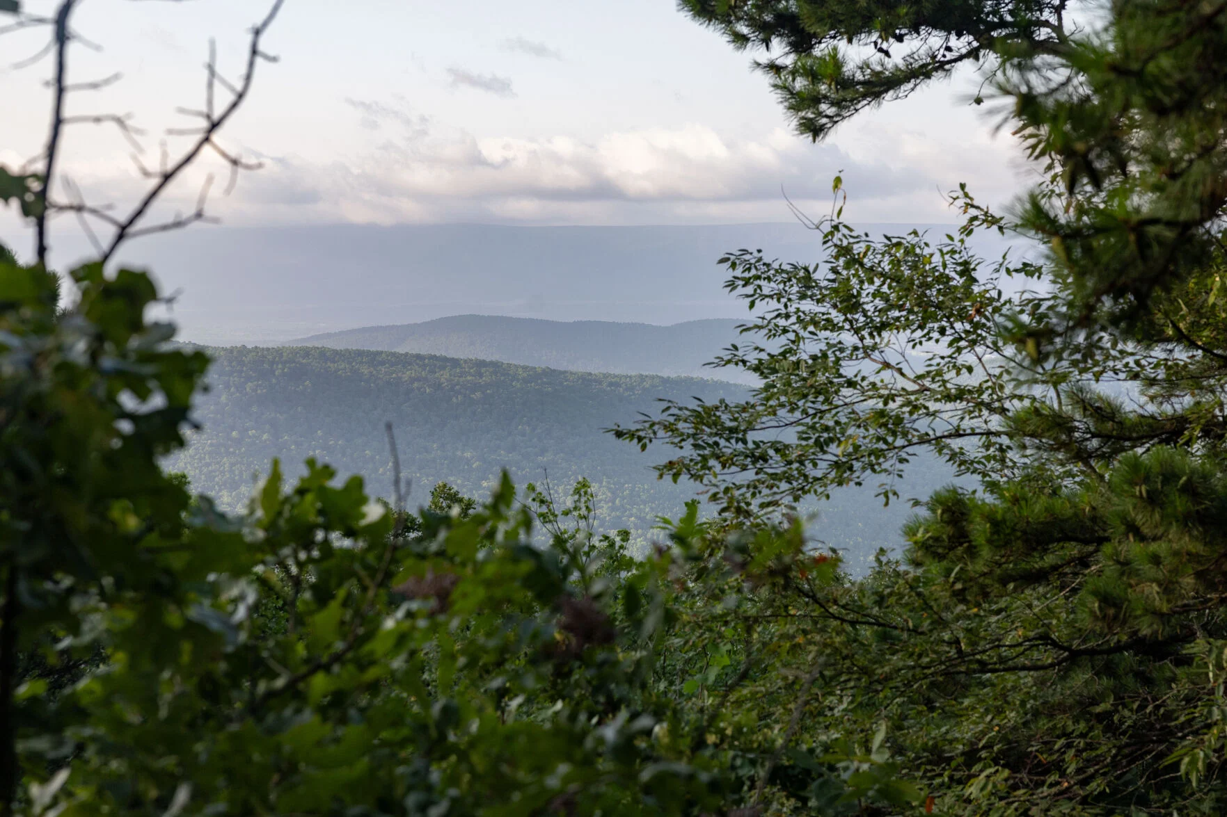
About 2 miles in, we headed toward the Talimena National Scenic Byway to Potato Hill Vista, where the hillside started to open up to views across the Ouachita Mountain Range. There were several more spots where the forest would have large enough gaps in the trees to see the rolling hills to the south.
As we got closer to mile five on the trail, I decided we should take a side trail to get to Panorama Vista, and I’d hitch a ride to our water cache and bring it back.
After pushing through thorn bushes in a spur that was not as well-maintained as the main trail, we made it to the vista. After a few minutes, a truck pulled up and a couple named Willie and Becky parked to check out the views. I approached them and explained our situation, and not only did they offer to take both of us to our water, but they also shared from a cooler in the bed of their truck.
Reinvigorated by our trail magic experience, we chose to jump back on the trail at Deadman Gap and find a campsite so we could do the full 8 miles the next day.
The plan was to hike back to Panorama Vista to take photos and make breakfast. About a quarter mile down the trail, we could hear some rustling in the woods. That’s when we saw a black bear and two cubs about 200 feet away from us.
The cubs were curious, and one of them turned toward us. I pulled my bear spray from its holster and tried to release my camera from the clip on my shoulder while being as loud as possible.
This encounter made me relieved we hadn’t cooked anything at camp before taking off, and it made me realize how lucky we were that, during the night, the bears didn’t come into the camp. We did make a bear hang; we just didn’t use an actual bear bag. In the future, I will either bring a bear can to stash away from camp or hang a bear bag.
My first section of the OT is done, just 215 miles to go.